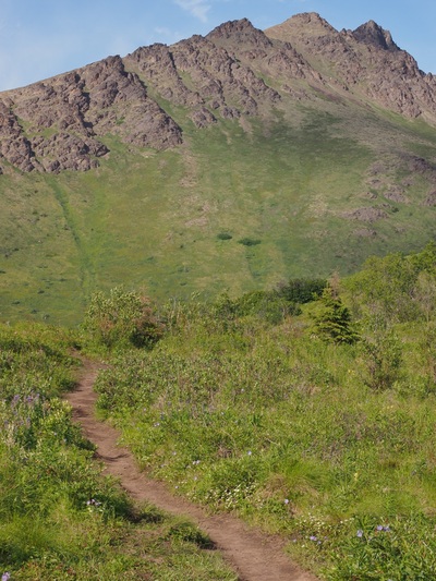
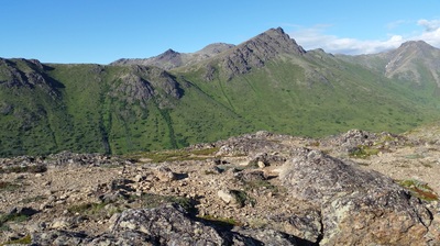
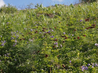
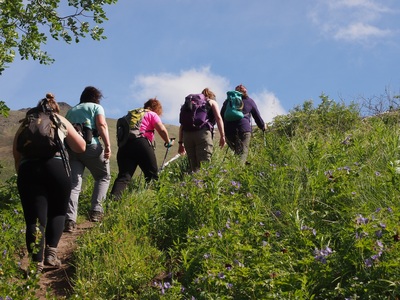
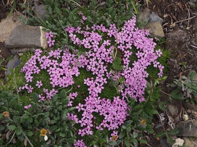
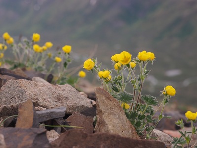
Late June or early July is the best time to hike this traverse if you want to see wildflowers in bloom: roses, bog orchids, gentians, lupine, geraniums, monkshood, harebells, larkspur, rattlebox, and more. Here are two excellent wildflower identification websites:
http://www.turtlepuddle.org/alaskan/wild/flowers-1.html
http://www.alaskawildflowers.us/
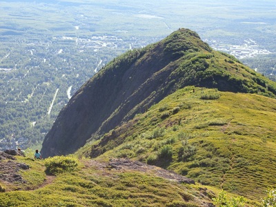
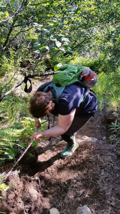
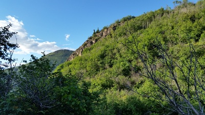
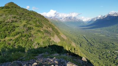
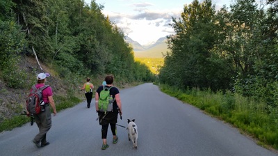
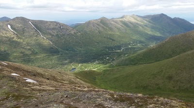
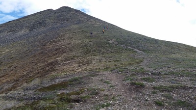
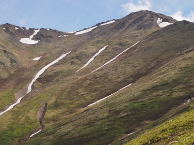
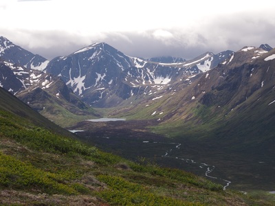
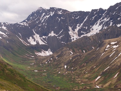
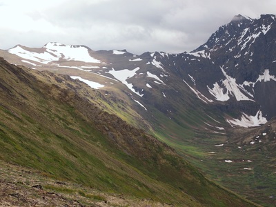
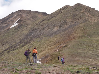
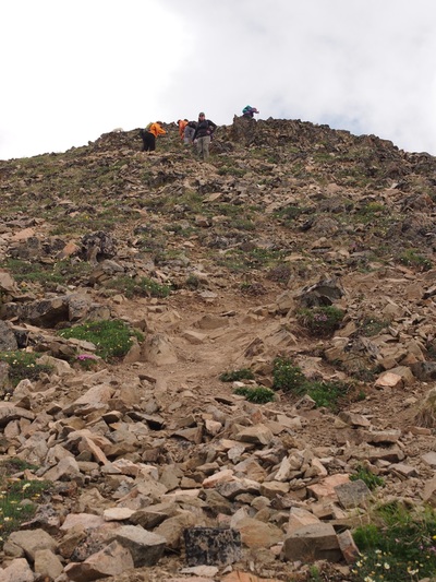
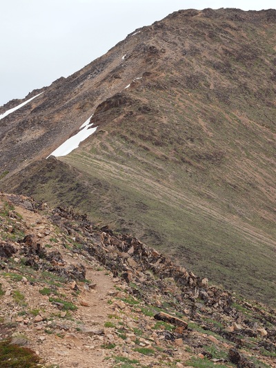
The trailhead for Rabbit Lake is at the end of Canyon Road (from Upper DeArmoun). We left cars at McHugh Creek so we could hike this one way. It's about 4 miles of semi-gradual incline up to Rabbit Lake, then about 6.5 miles generally down to McHugh, with steep descents the closer you get to McHugh. You'll likely have the middle section to yourself, since the ends of the trails get the most foot traffic.
Distance one way: about 10.8 miles


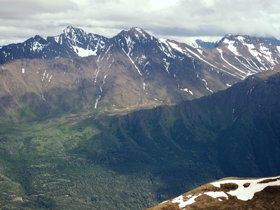
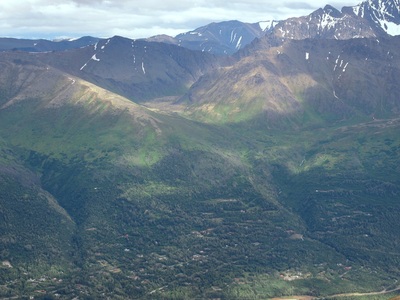
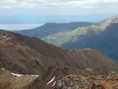
 RSS Feed
